Adventurous Challenge on Japan's Long Trails
We hold self-challenge events such as the "Great Northern Japanese Alps" and "Great Shiga Ichi", enabling participants to take on big adventures at their own pace.
Project Overview
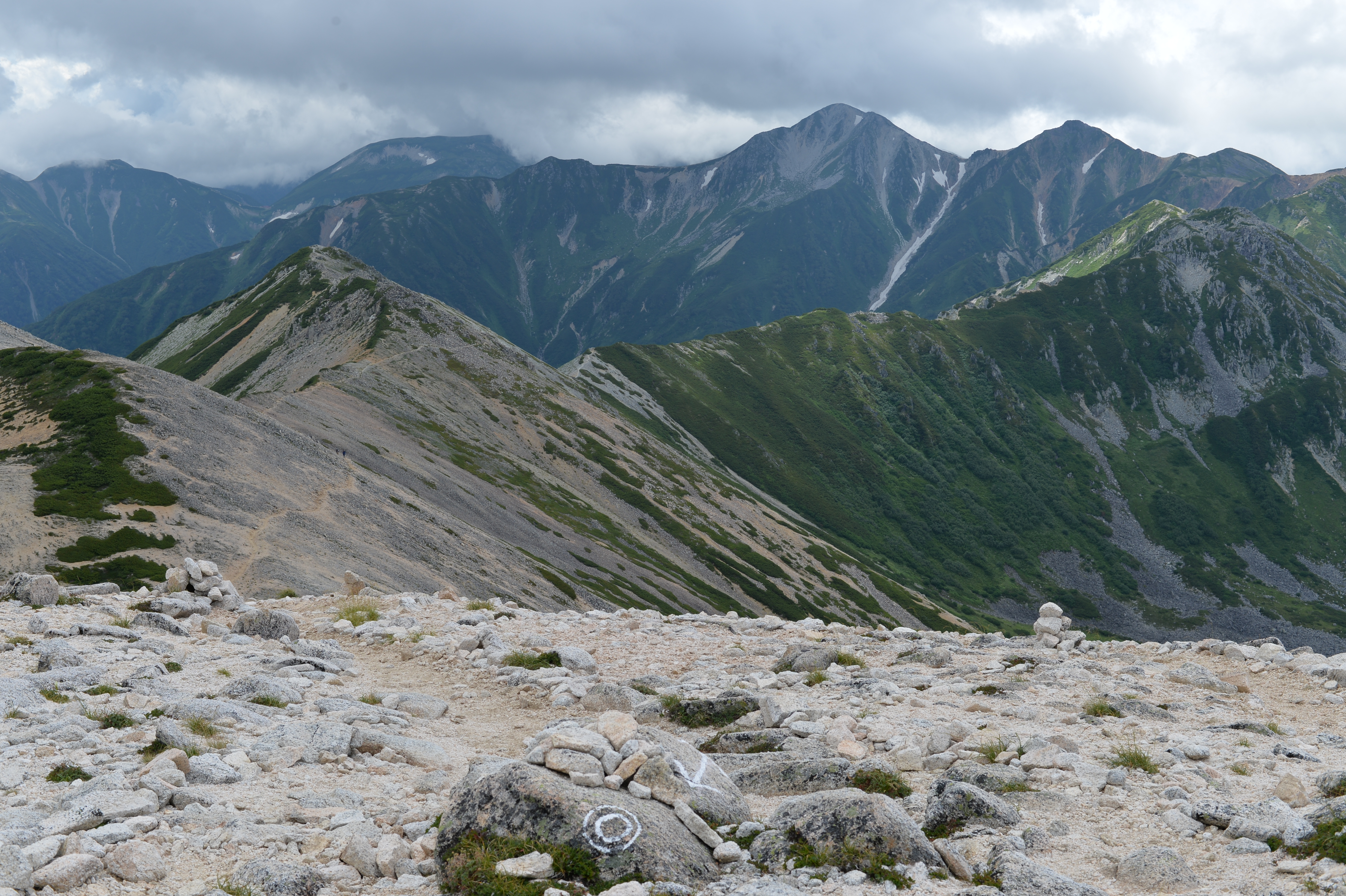
We organize self-challenge events set in Japan’s beautiful mountains and long trails. Even in national parks or special protected areas where large-scale events are difficult, participants can challenge themselves at their own pace and enjoy the awe of nature.
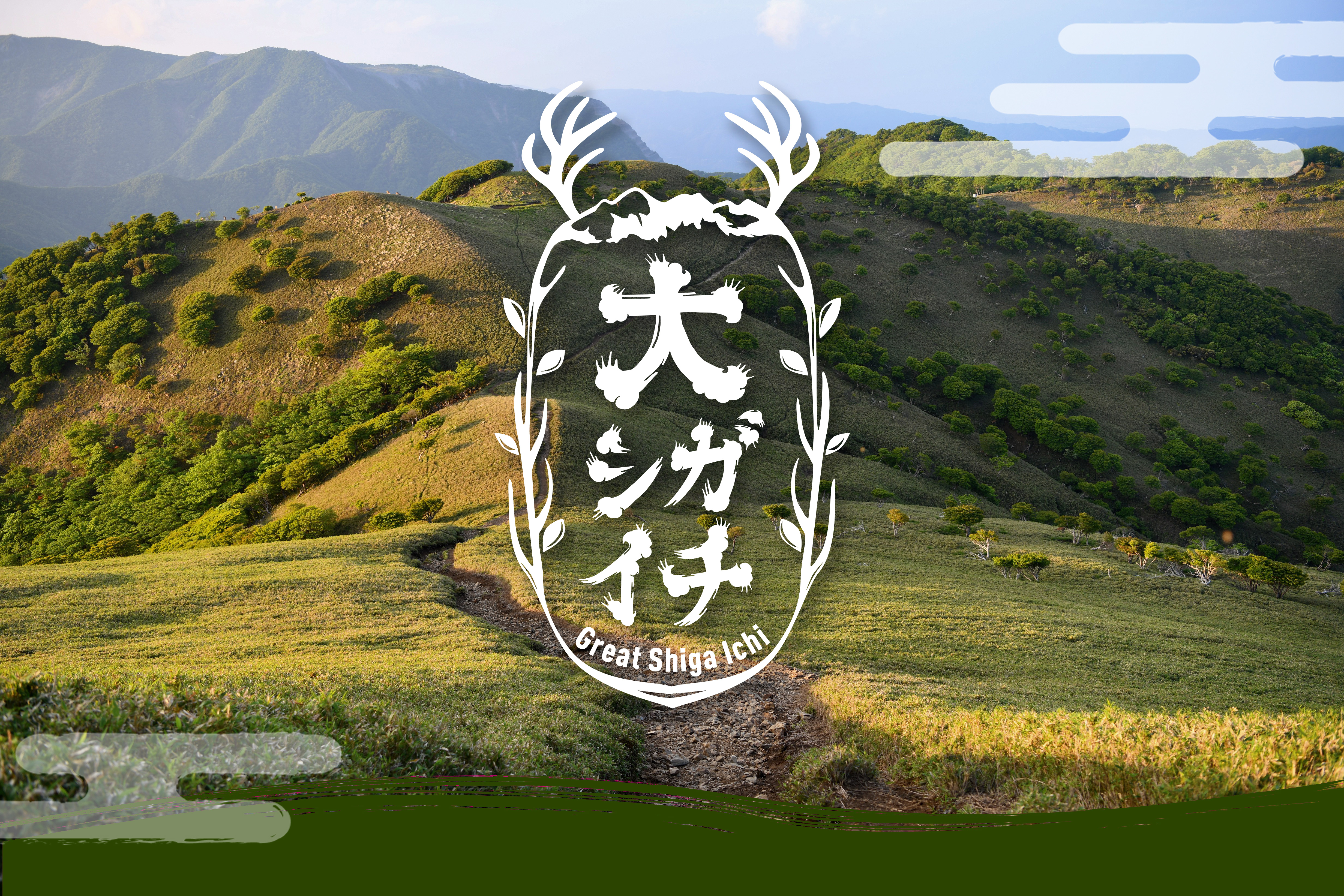
For example, "Great Northern Japanese Alps" is a grand challenge to conquer all major 3,000m peaks along the main ridge of the Northern Alps and return to the starting point. We also plan events like "Great Shiga Ichi," focusing on other captivating long trails around Japan.
We provide information, GPS tracking, and completion certificates so participants can support each other for a safe and meaningful adventure. Why not take on a once-in-a-lifetime big challenge?
Current & Upcoming Events
2025 Year
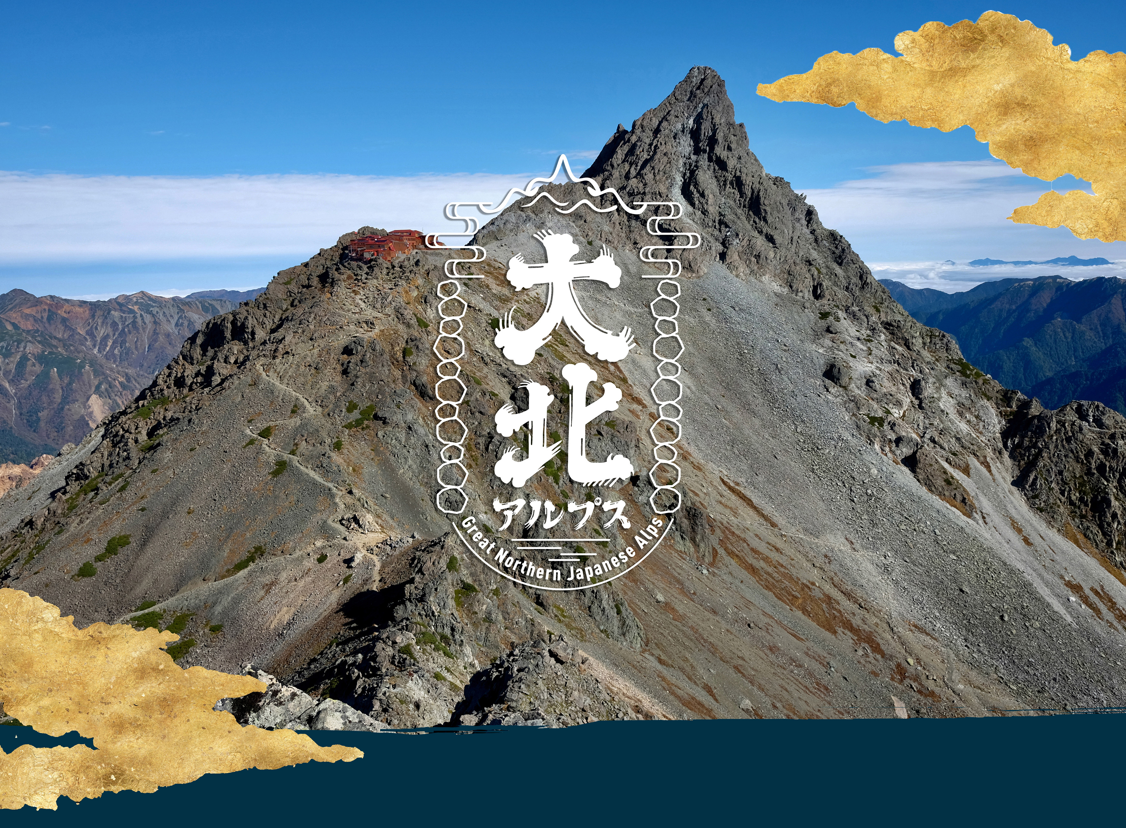
大北アルプス
Great Northern Japanese Alps
Coming Soon2024 Year
About the Organizing Committee
Each event is managed by volunteers, including the "Great Trails Organizing Committee." We welcome anyone interested in planning or assisting event operations.